"Everything is related to everything else, but near things are more related than distant things." — Waldo Tobler
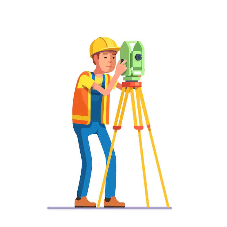
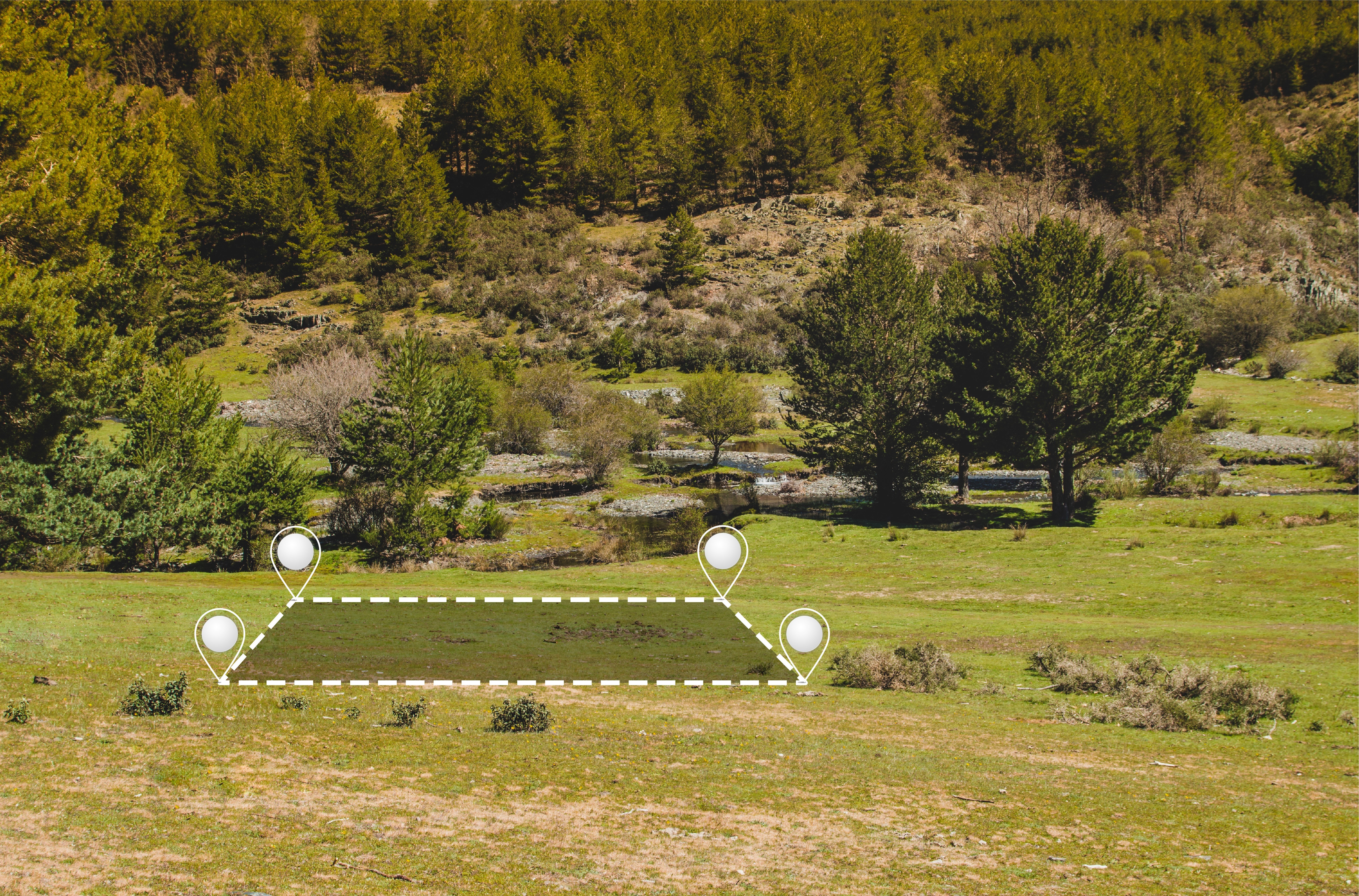
Spatial Insights Africa is dedicated to providing innovative geospatial solutions that address critical challenges in environmental management, agriculture, and public health. Our team combines expertise in Geographic Information Systems (GIS) with a commitment to sustainability, ensuring that our projects enhance operational efficiency and technological capabilities.
We focus on delivering tailored consultations and effective system development to meet client needs. At Spatial Insights Africa, we are driven by the goal of making a positive impact through our advanced geospatial services and ongoing support.
To empower sustainable development and decision-making across Africa by delivering innovative, accurate, and accessible Geographic Information System (GIS) solutions tailored to meet the unique needs of governments, businesses, and communities.
To be Africa's leading GIS solutions provider, transforming lives and landscapes through cutting-edge geospatial technology, data-driven insights, and strategic partnerships that foster inclusive growth and environmental resilience.
Delivering top-tier services with unwavering commitment to quality, innovation and client satisfaction.
Advanced geological surveys to identify water resources and optimize water management strategies for agricultural and industrial use.
Custom geospatial applications and websites tailored to your specific needs, with GIS integration and real-time data visualization.
Spatial analysis for public health applications, including disease mapping, healthcare accessibility, and epidemiological studies.
Comprehensive ecological assessments, forest management planning, and biodiversity conservation strategies using geospatial technologies.
Advanced mineral exploration services combining geological expertise with cutting-edge geospatial analysis to identify potential mining sites.
Precision agriculture solutions including soil analysis, crop monitoring, and yield prediction using remote sensing and GIS technologies.
Capturing location-based data, analyzing spatial relationships, and visualizing patterns
We gather precise geospatial data using advanced field equipment, remote sensing, and satellite imagery to ensure accuracy.
Our experts process and analyze the collected data using sophisticated GIS software and statistical models to extract meaningful insights.
We transform complex data into clear, actionable reports and interactive visualizations tailored to your specific needs.
"Spatial Insights Africa transformed our farm by providing expert land use planning, soil health analysis, crop recommendations, and real-time monitoring. Their GIS solutions helped optimize our yield and make informed decisions for sustainable farming."
"Spatial Insights Africa transformed our operations with their innovative geospatial solutions. Their team provided excellent GIS consultation services that helped us streamline our environmental management processes."
"The mineral prospective analysis conducted by Spatial Insights Africa led us to discover valuable resources we didn't know existed on our property. Their expertise is unmatched in the industry."
"Their geospatial health mapping helped our organization identify disease hotspots and allocate resources more effectively, ultimately saving lives in our community."